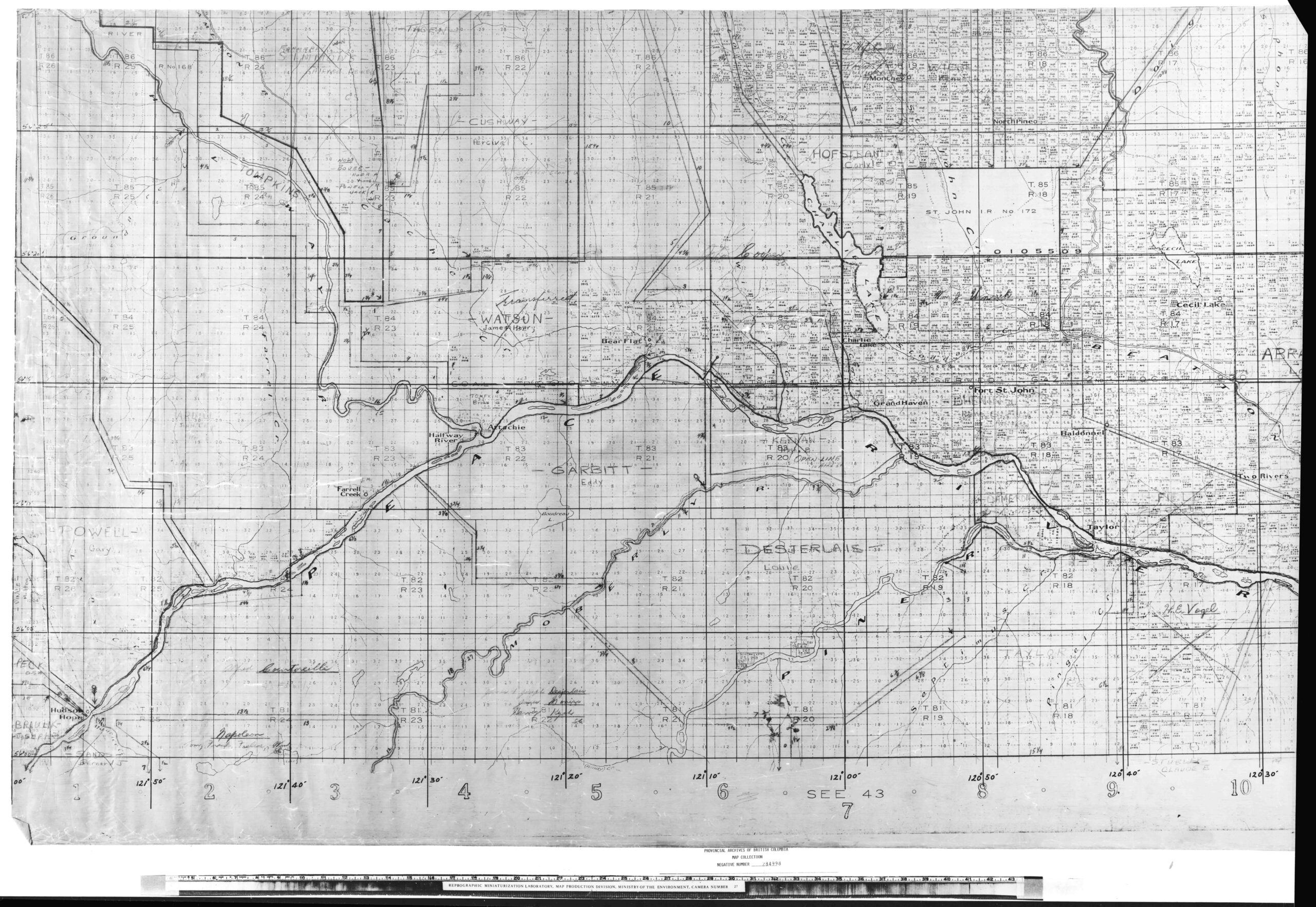
Fort St. John Area
This trapline map of the Peace River, Hudson Hope, and Fort St. John was inherited from the Northern British Columbia Fish and Wildlife Branch. It was created in 1930. Learn more about this map here The Copyright Act applies to materials that are part of Royal BC Museum and Archives collections; this includes but is…