For Educators
Sign Up or Log In
For Educators
Sign Up or Log In
Home
Playlists
Pathways
Timeline
Map
Privacy Policy
Terms and Conditions
Contact
Flickr
Facebook
Twitter
For Educators
Sign Up or Log In
Pathways
Timeline
Map
Playlists
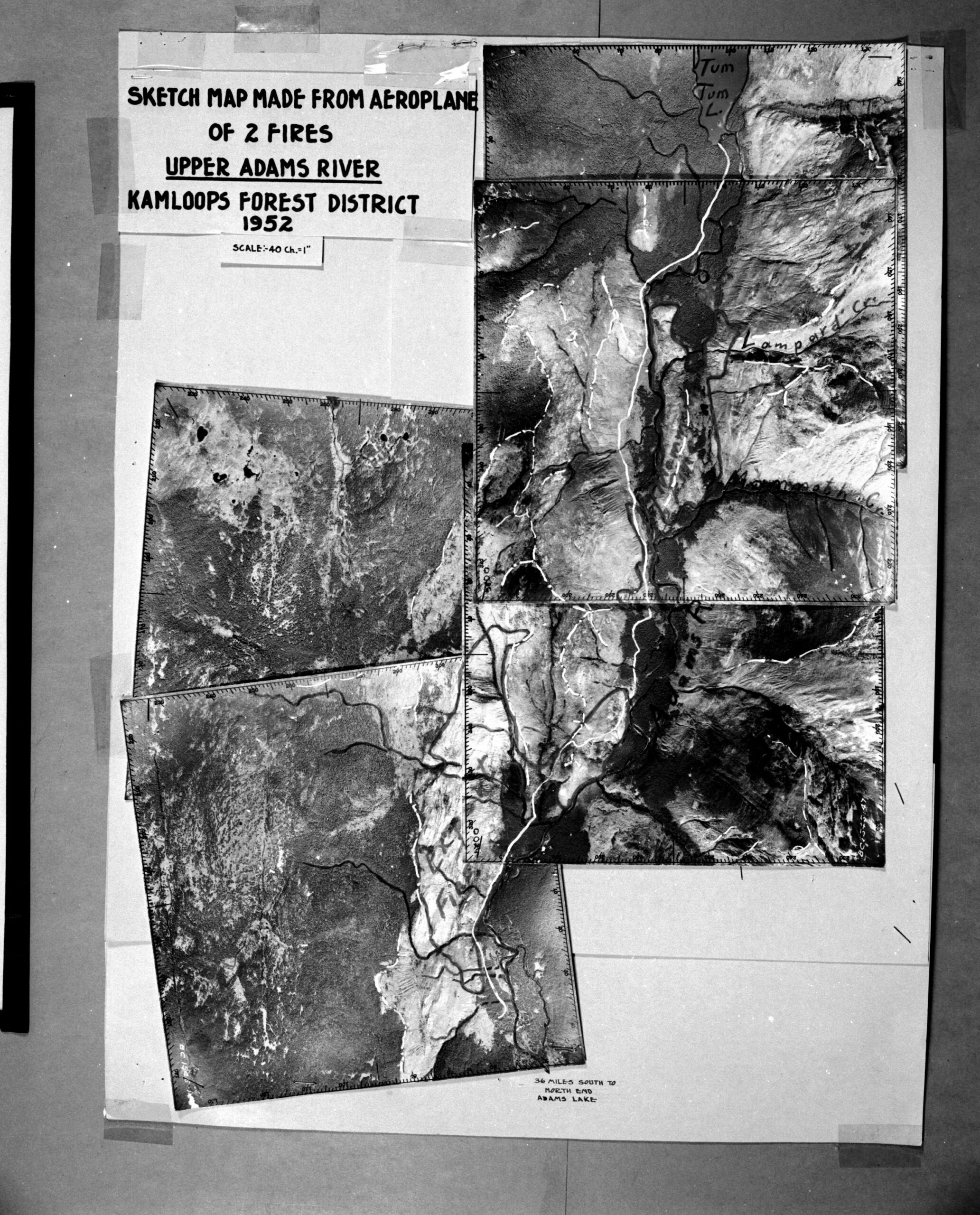
Upper Adams River
This image is a mosaic map that combines maps of two fires (Mammoth and Export fires) in the Upper Adams River Kamloops Forest District in 1952. These sketch maps were made from an airplane. Learn more about this map here.
Status:
Inherit